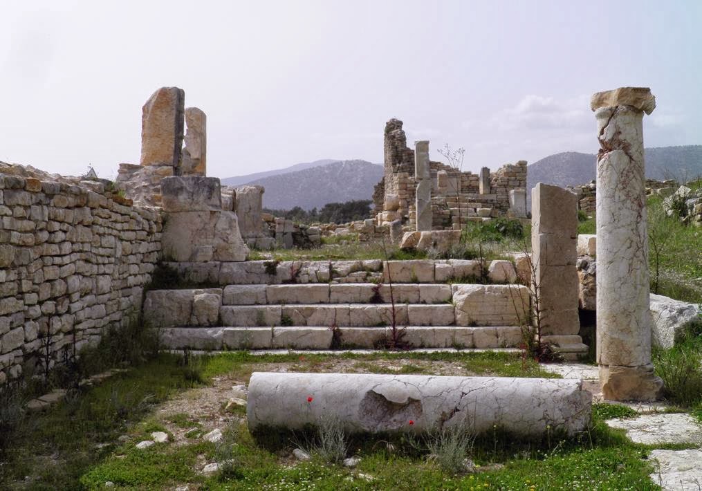
FIRESENSE is an automatic early warning system and takes advantage of recent advances in multi-sensor surveillance technologies. It uses a wireless sensor network capable of monitoring different conditions, such as temperature, as well as optical and infrared cameras, and local weather stations. The systems' network of cameras coupled to a smoke detection function raised the alarm to a potential disaster approaching Rhodiapolis.
Now it is being tested in other countries, according to Nikos Grammalidis, scientific director of the FIRESENSE project, based at The Centre for Research & Technology, Hellas in Thessaloniki. The system has already been tested in the archaeological site of Kabeirion in Thebes, Greece and is currently being installed in the Temple of Water, in Zaghouan, Tunisia.
'Further tests are taking place in Galceti Park, in Italy and in Dodge Hall, located in Bogazici University, Istanbul,' he adds.
Of course, none of this would have been possible without the support of a European consortium of 10 companies and research institutes from Greece, Turkey, Italy, Netherlands, Belgium and Tunisia, and with funding of nearly EUR 3 million from the European Commission.
The system works with sensors transmitting data to a monitoring centre which employs intelligent computer vision and pattern-recognition algorithms. This system uses data-fusion techniques to automatically analyse sensor information. It works by generating an automatic warning signal for local authorities whenever a dangerous situation arises, such as fire, storm or other environmental threats.
However, detecting wildfire is only the first step in fire fighting. The next step is to estimate the direction and speed of the fire in order to assess the risk to any sites potentially in its path. Panayiotis Vlamos, associate professor of informatics at Ionio University, Greece says FIRESENSE uses a Geographic Information System and 3D representations to approximate the evolution of fire and other phenomena. 'A concrete model, will enhance the efficiency of the system,' he concludes.
For more information, please visit: The Centre for Research & Technology, Hellas
Source: Cordis [December 02, 2013]